The event was configured a result of a trough in higher levels and the South American Low Level Jet transporting humidity in low levels to the region.
Strong gust winds and/or hail were reported in cities near Piracicaba, and in Jundiaí and Campinas (news here and here).


VIL images from Radar São Roque (source CPTEC) can be seen below, for the afternoon hours.


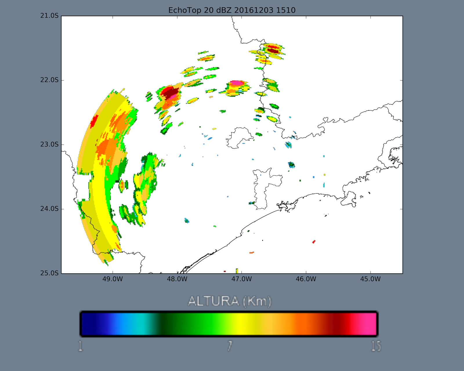
The following images show the EchoTop 20dBz values.


Lightning flashes detected by the Brasildat network in the region can be seen below (total: 19738)


Satellite images from GOES can be seen below:
GOES visible channel images:
                        |
GOES IR channel:


GOES Water Vapor channel:


No comments:
Post a Comment