Monday, February 20, 2017
Case study: Janaury 31st, 2017
A squall line that advanced over SP state occasioned storms with heavy rain in several cities. Hail was reported in Sorocaba (news here and here) and the heavy rain caused floods in Itu and Araraquara as well (news here and here).
Lightning strike as detected by Brasildat network within a 180 km radius centered in Campinas can be seen below:
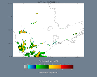
The following images show the CAPPI 3km from Radar São Roque (source CPTEC):
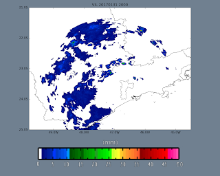
The following images show the VIL values:
The following images show the EchoTop 20dBz values:
Satellite images from GOES can be seen below:
GOES visible channel images (source CPTEC):
GOES IR (highlited) channel images (source CPTEC):
GOES WV channel images (source CPTEC):
Subscribe to:
Post Comments (Atom)


No comments:
Post a Comment